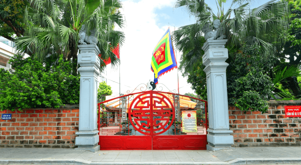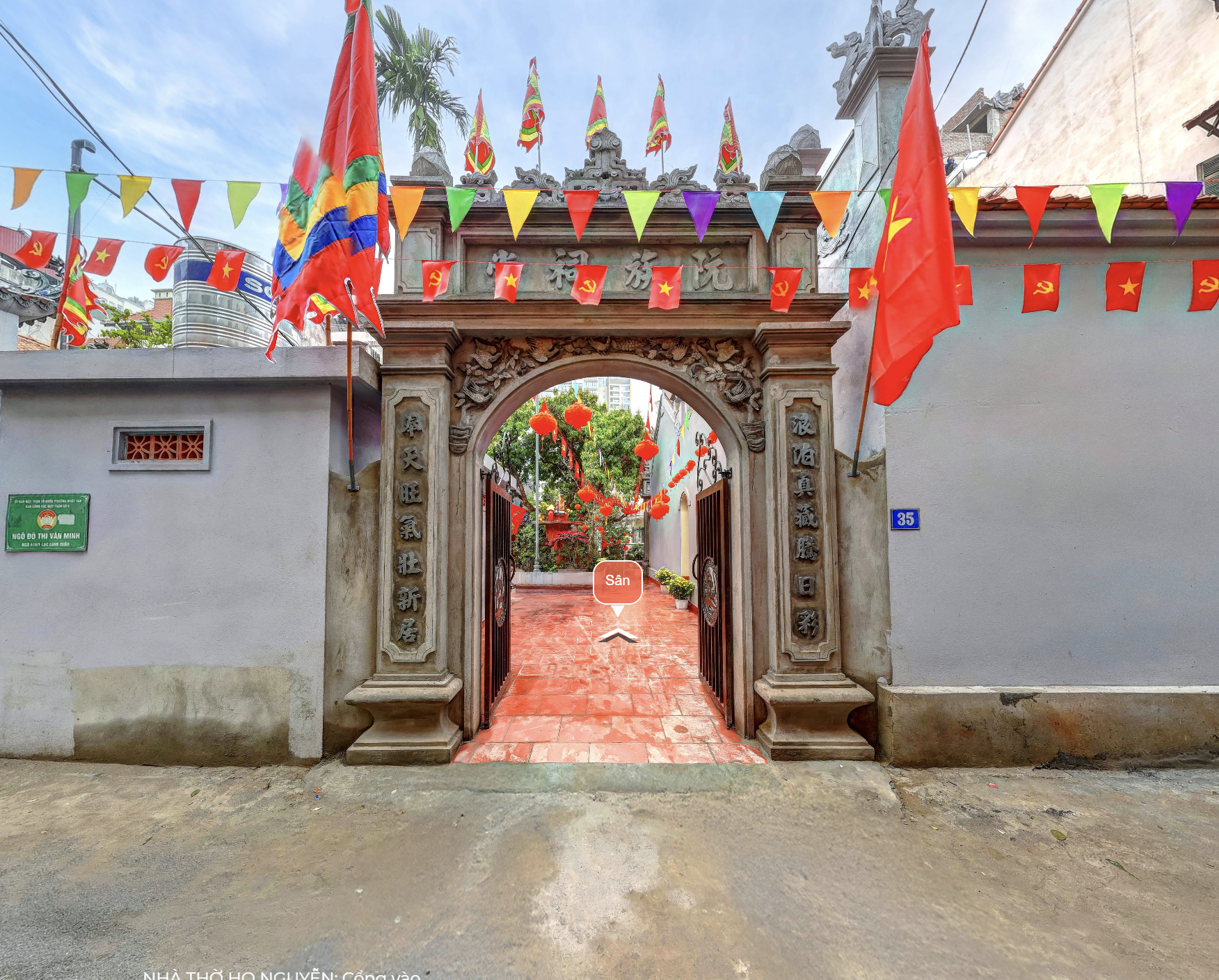
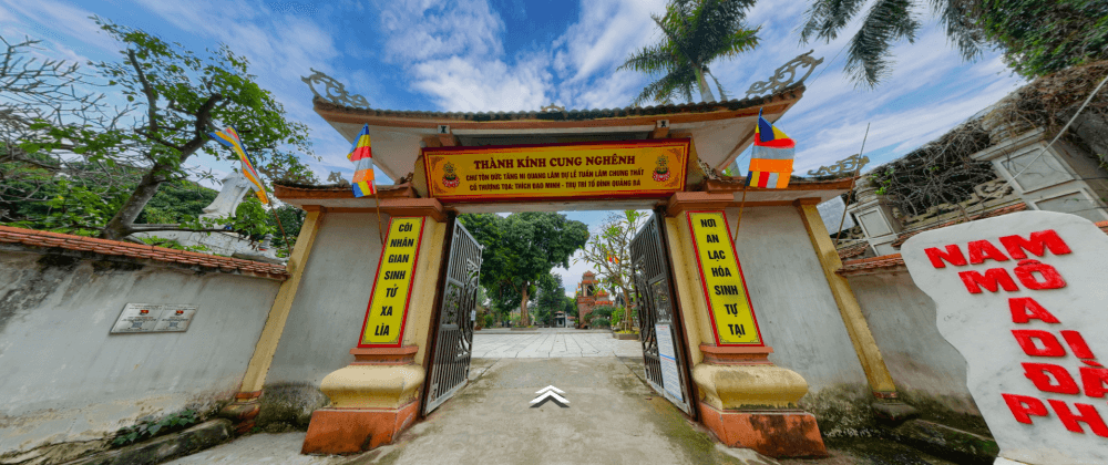
No. 20, Lane 472, Cluster 3, Lac Long Quan Road, Nhat Tan Ward, Tay Ho District, Hanoi.
Introduce
Geographically, during the Le dynasty, Hanh Thien Shrine belonged to Nhat Chieu Ward, Tong Thuong, Vinh Thuan District. Under the Nguyen dynasty (Thanh Thai era), it was part of Vinh Thuan District, Hoai Duc Prefecture. During the Bao Dai era, Nhat Chieu was renamed Nhat Tan and became part of Tong Thuong, Hoan Long District, Ha Dong Province, later incorporated into the "Hanoi Special Administrative Zone". From 1946 to 1954, Nhat Tan was merged with Quang Ba to form Quang Tan Commune. In 1955, it separated to become Nhat Tan Commune, part of District V (Outer District) of Hanoi. In 1961, Nhat Tan became part of Tu Liem District. Finally, in 1996, it was reclassified as a ward of Tay Ho District.
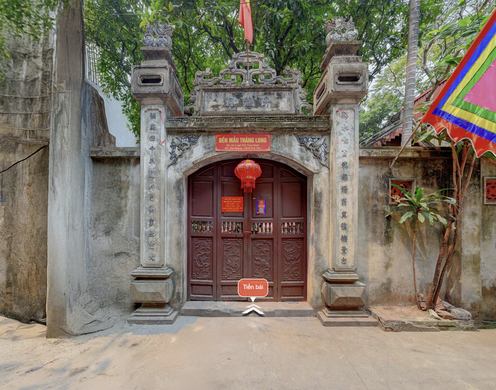
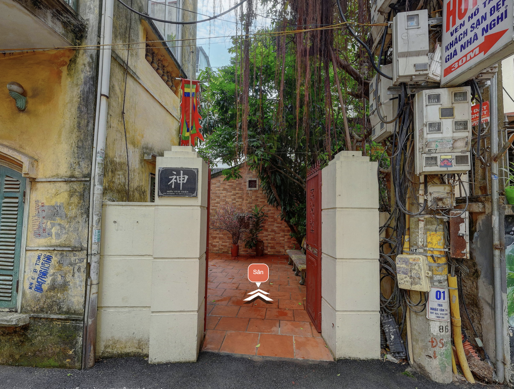
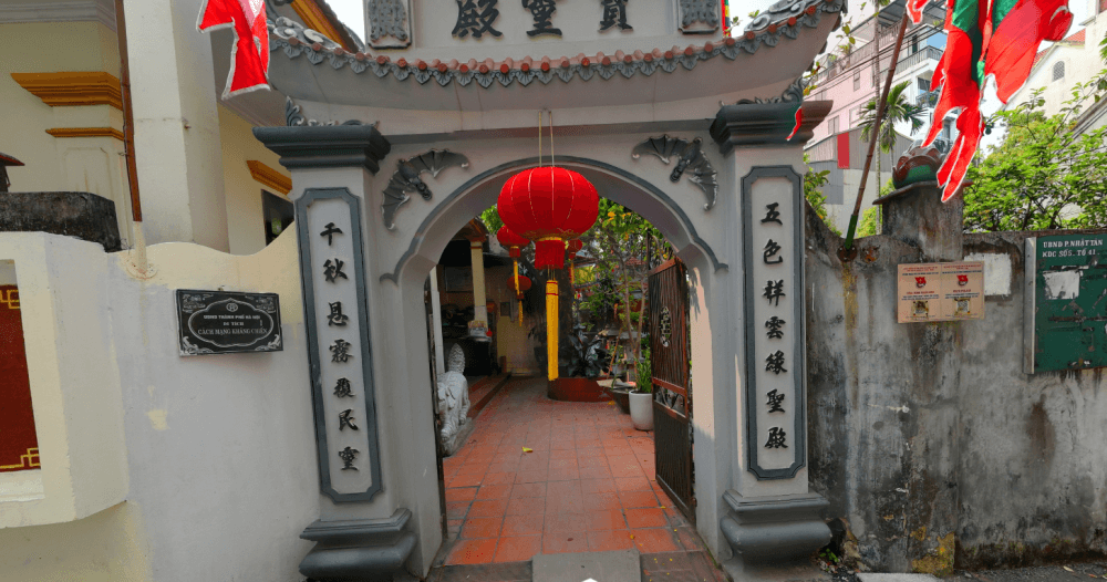
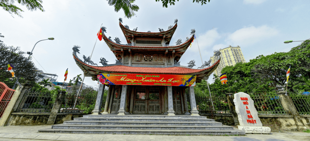
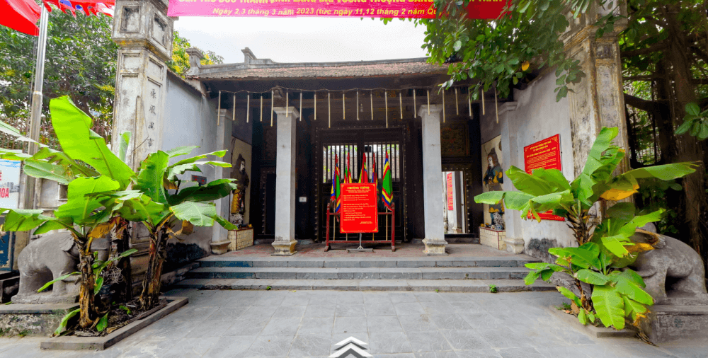
Currently, the historical site is located in Residential Area No. 3, Lac Long Quan Street, Tay Ho District. To reach the site from the Ho Chi Minh Mausoleum, take Thanh Nien Road towards Yen Phu Dyke, then turn left at the Au Co – Lac Long Quan intersection. Continue straight on Lac Long Quan Street until Residential Area No. 3, then turn left into an alley. The site is located at house number 20, in the middle of the neighborhood.
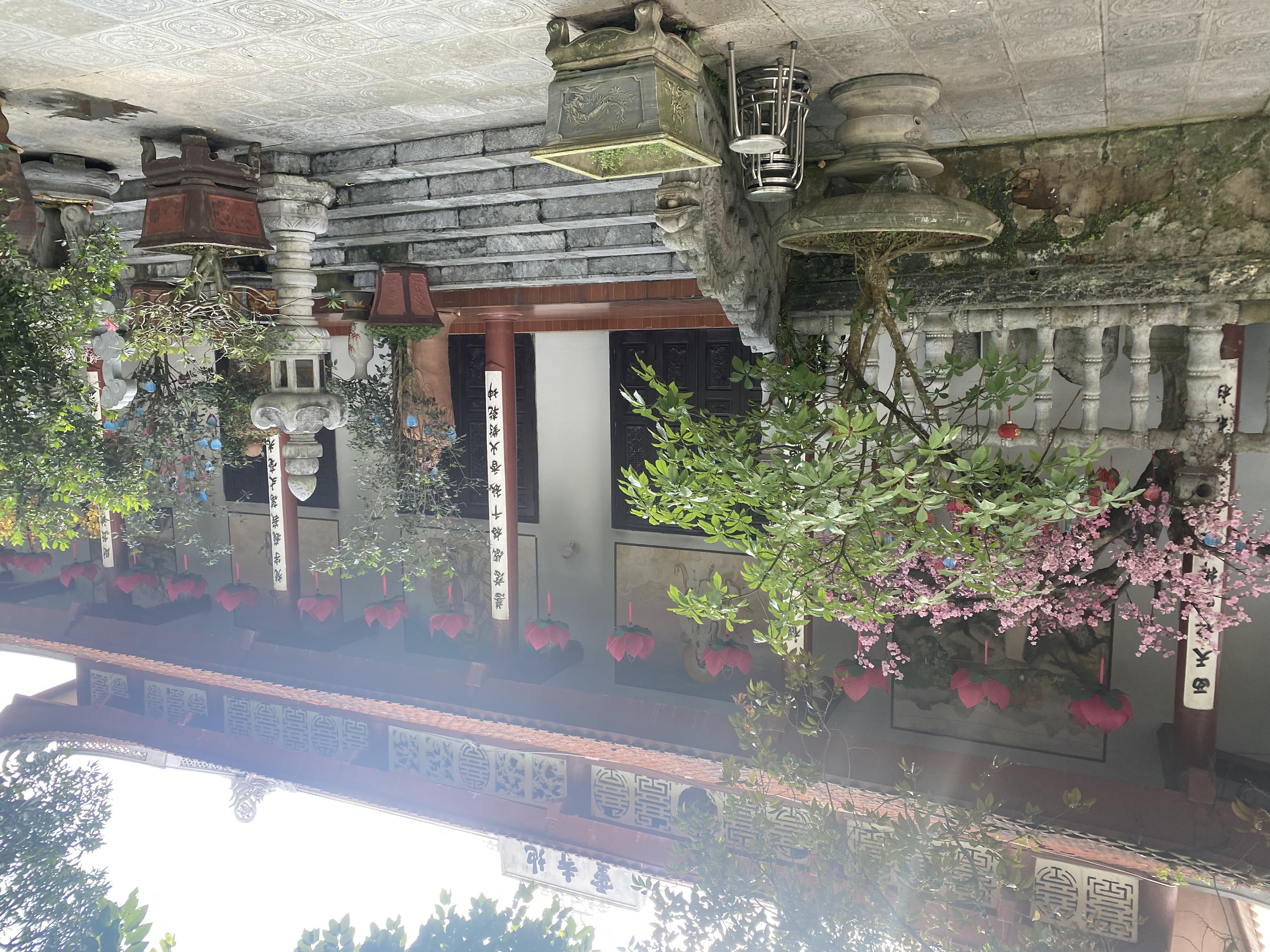
Artifacts
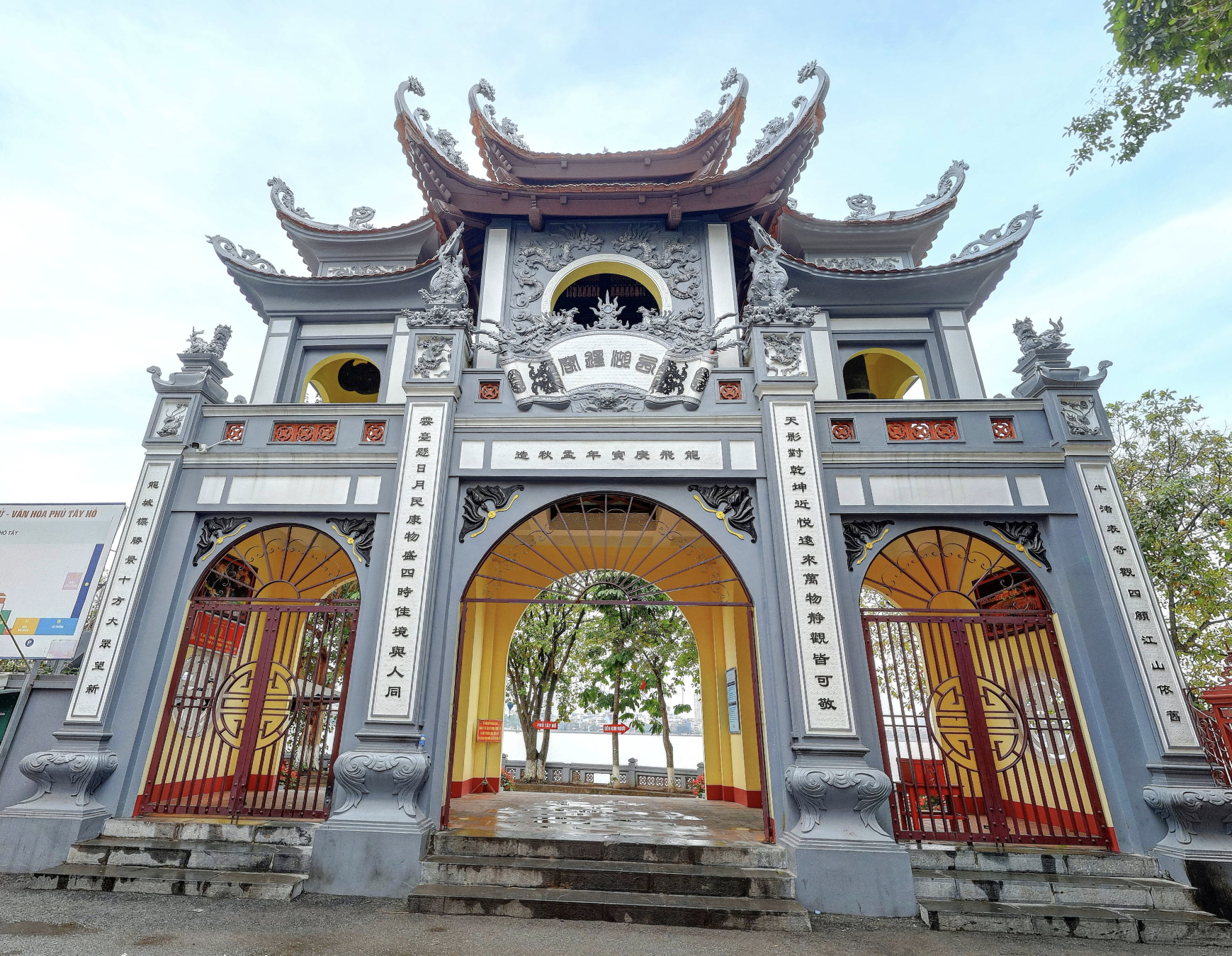
Nearby Places
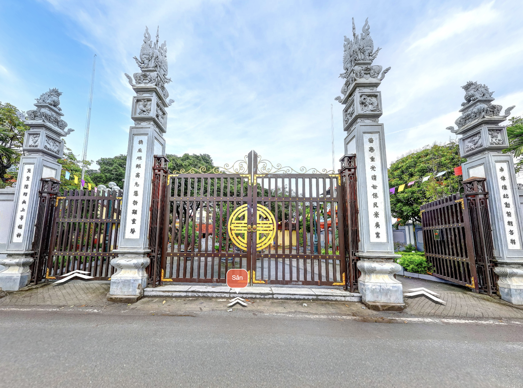
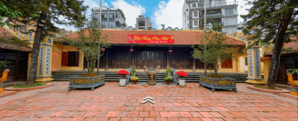
No.6, Lane 319, An Duong Vuong Street, Phu Thuong ward
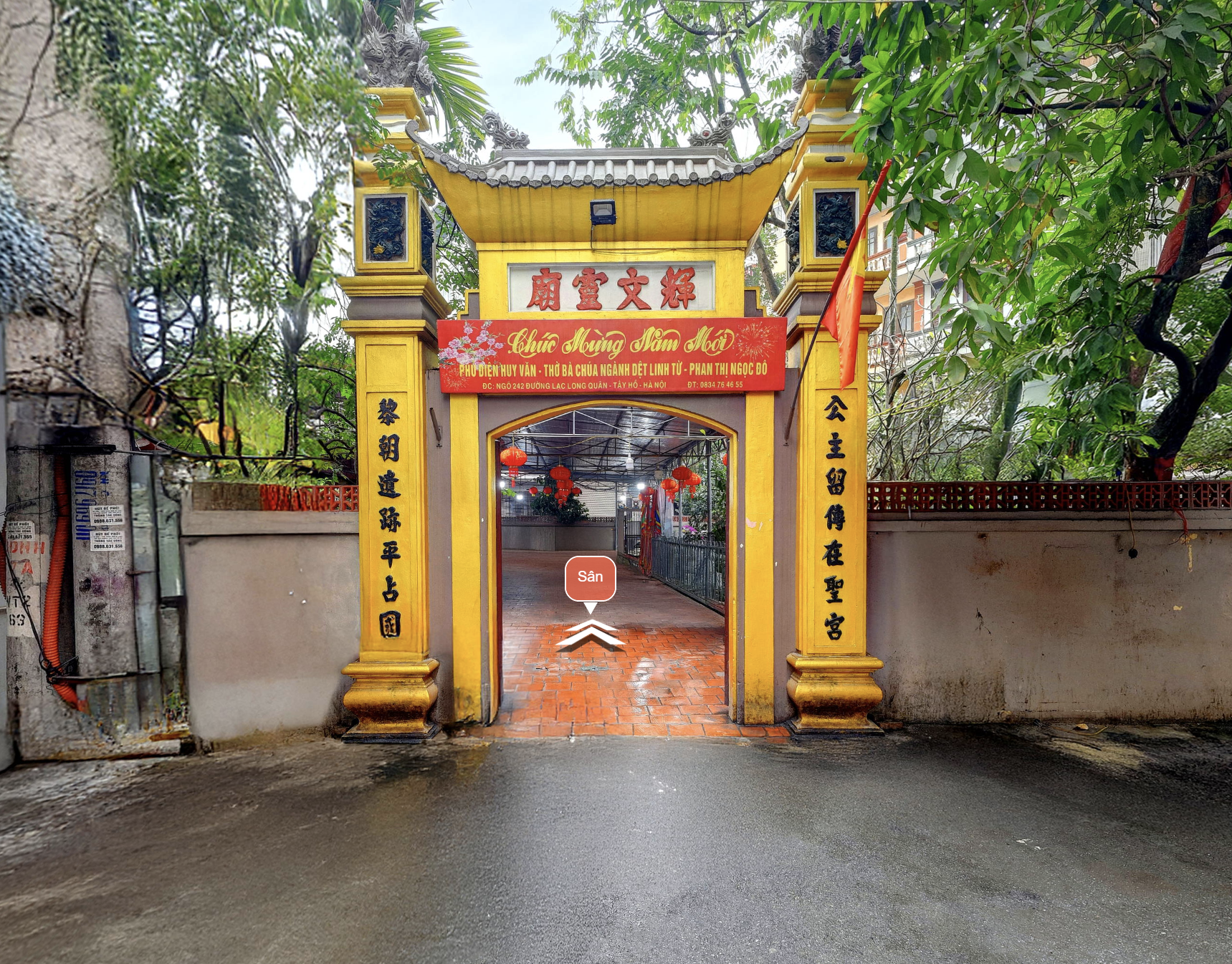
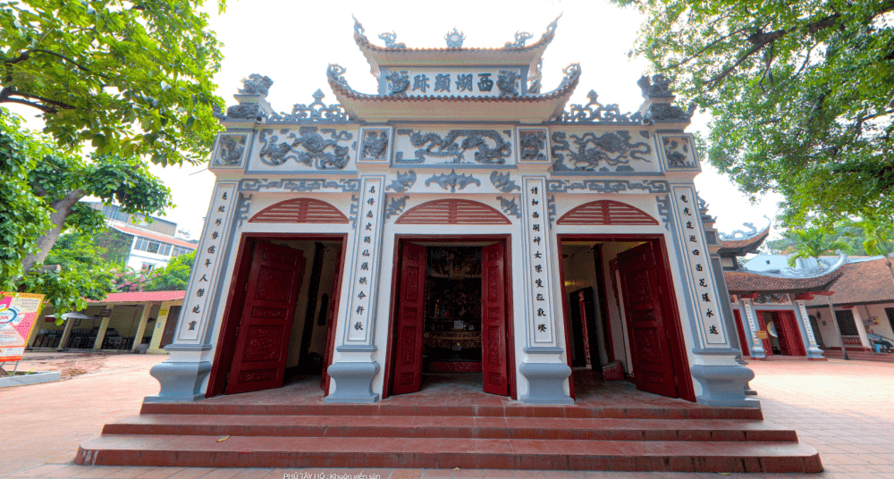
Lane 242, Lac Long Quan Street, Buoi Ward, Tay Ho District, Hanoi.
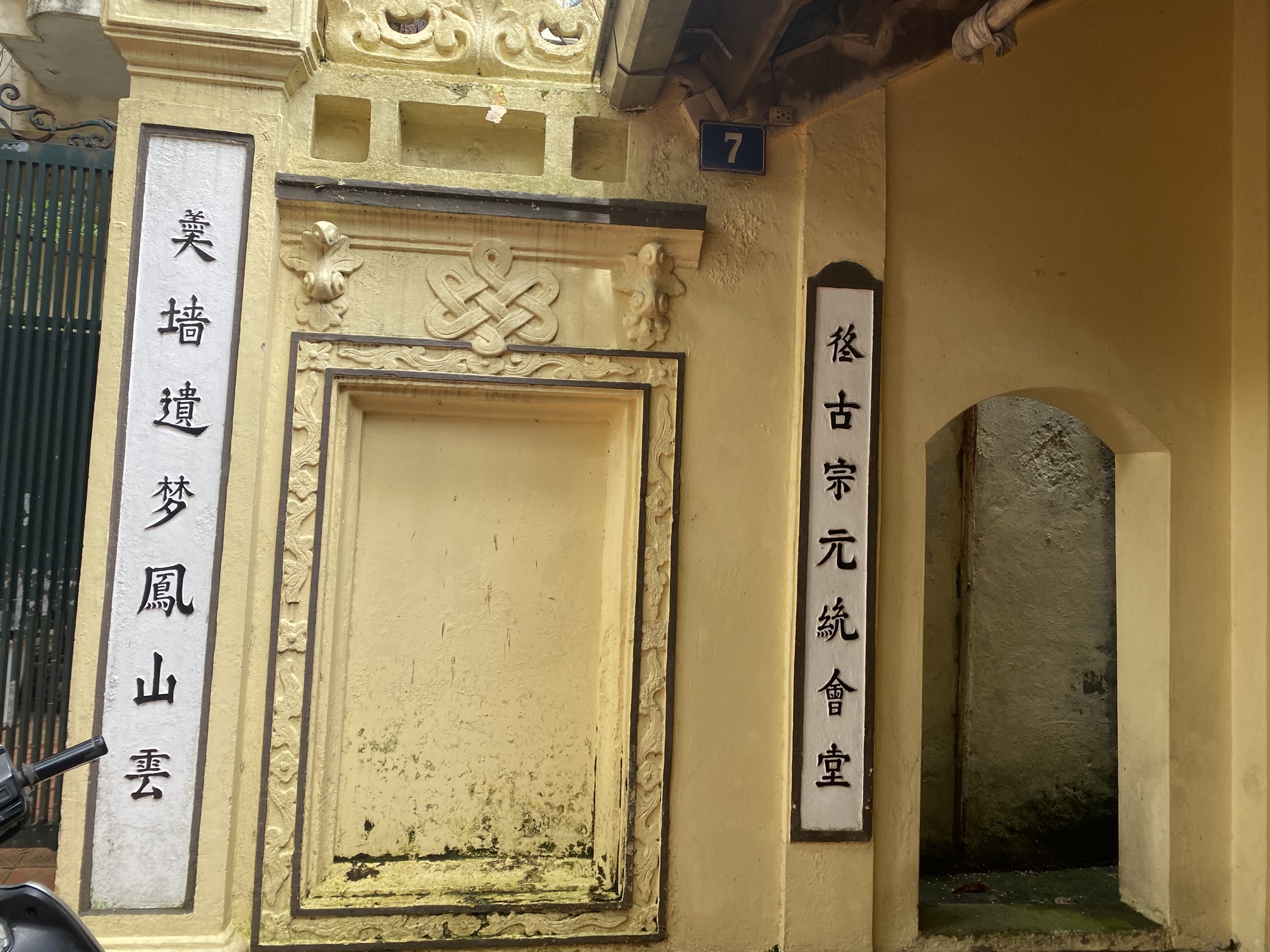
No. 07, Lane 30, Tay Ho Road, Quang An Ward, Tay Ho District, Hanoi.
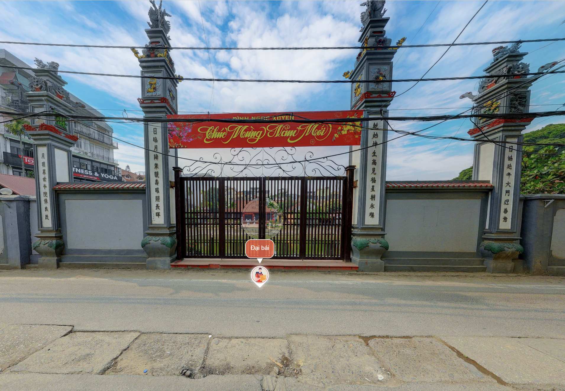
Residential Area No. 5 (No. 3, Lane 200, Au Co Road), Tu Lien Ward, Tay Ho District, Hanoi.
Residential Area No. 5 (No. 3, Lane 200, Au Co Road), Tu Lien Ward, Tay Ho District.
.png)
.png)


.png)
.png)
.png)
.png)
.png)
.png)
.png)
.png)
-min.png)
.png)
-min%20(1)%20(1)%20(1)%20(1).png)


.png)

.png)